Nigerian Airborne Time Domain Electromagnetic (TDEM) Survey
Between April And September 2009, a Tempest airborne Time Domain Electromagnetic (TDEM) survey was flown over 3 areas in Nigeria as part of the Federal Ministry of Solid Minerals Development Project. The TDEM survey was designed as a follow u to the existing magnetic and radiometric survey that was flow over Block A1, A2 & C and Block B.
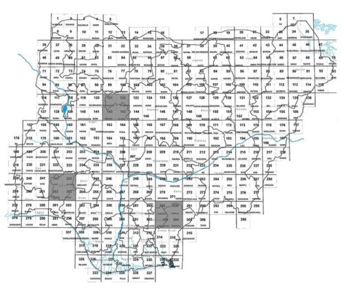
The areas flow by TDEM was deemed to be in the most favourable geological environment believed to be of use to mining companies interested in conducting exploration in Nigeria, as we see in areas that were not currently being explored 25,594 ln km of AEM.
TDEM Survey
TDEM Survey
Regional block at 500m High Resolution blocks at 100m in each of the three areas (Birnin Gwari, Ife-Ilesha and lower Benue)
HiRes survey target potential mineral depost (Au in Ilesha/B. Gwari and Pb Zn in Benue)
Airborne EM is a critical data for the exploration of metallic minerals like gold, silver, copper, lead, iron ore, wolframite, columbite, diamond, chromite and so on.
Also useful in Ground water resources and Environmental studies
Airborne Time Domain Electromagnetic (TDEM) Coverage
| SN | Blocks | Point | Longitude | Latitude | LN KM (Reg) | Ln km HRes | Area (km2) Reg | Area (km2) HRes |
| 1 | A1,A2, TDEM BIRNIN GWARI | A B C D | 6.473 6.795 6.373 6.055 | 10.778 10.585 9.934 10.127 | 7,121 | 901 | 4,057 | 181 |
| 2 | B, TDEM IFE- ILESHA | A B C D | 4.78 5.128 4.674 4.337 | 7.922 7.698 6.993 7.210 | 8,393 | 916 | 3,504 | 78 |
| 3 | C, TDEM BENUE | A B C D | 8.507 8.751 8.083 7.851 | 7.47 7.278 6.484 6.685 | 7,661 | 602 | 3,814 | 59 |
| TOTAL | 25,594 | 11,693 | ||||||
Benefits of EM Data
- Further define structurally controlled vein type and intrusive associated gold and other metallic minerals in the survey block with clear positioning and orientation in addition to information obtained from magnetic on structural disposition
- Enable the characterization of less magnetic but highly conductive mineral such as the graphite.
- Provided information on the high electrical conductivity in the near subsurface relating to metalliferous mineral deposits and concealed geological structures such as gold, lead, skarn (base metals, precious metals), faults, veins, fractures, folds and intrusive.
- Larger part of Nigeria’s mineral deposits are concealed underneath very thick conductive regolith or sedimentary horizons which can limit the depth of penetration of any system and since Heli AEM has the best depth penetration, it provides the best solutions to serious data gap
- Other countries like the Nottinghamshire flew High Res AEM over their coalfied and the results have revealed conductive plumes, within the Permo-Triassic aquifer, emanating from spoil zones which provokes new exploration for metalliferous minerals in the field
- The acquisition of the data will improve the investment competitiveness of Nigeria as the initiative brings the country at par with other mining jurisdictions in Africa.