National Centre For Marine Geosciences
The National Centre for marine Geosciences, located in Yenagoa, is mandated to collect and collate geo-scientific data and information from Nigeria’s coastal and offshore environments central to reconstruction of their geological evolution, mineral resources discoveries and exploitation, geohazard mitigation, and sustainable development.
In pursuit of this mandate, the Centre creates a data bank and body of knowledge where concerns and challenges of investors, investigators and all other stakeholders interested in geo-scientific evolution, exploitation, development, vulnerability and management of Nigeria’s coastal and offshore environments are creditably catered for.
Capacity-building and research efforts of the Centre have been recently welcomed by Niger Delta University, University of Port Harcourt, Federal University Otuoke, AkwaIbom State University, Federal University of Technology Akure, and the International Council of Science Union (Regional Office for Africa), South Africa.

Contact Details
- Origin and evolution of coastal and offshore environments
- Sedimentary characteristics and dynamics of the seabed, coastline and coastal morphologies
- Geochemical composition and geophysical structure of the coastal and offshore environments
- Mineral occurrence and distribution in the coastal and offshore environments
- Potentials and prospects of non-mineral energy resources exploitation in the coastal and offshore environments
- Vulnerability of the coastal and offshore environments to geohazards and human activities
- Possible effects of eustastic and tectonic processes on the coastal and offshore environments
Projects
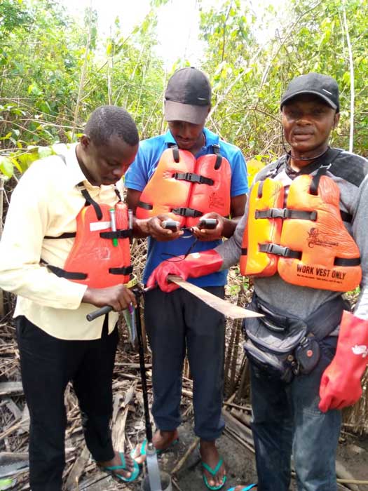
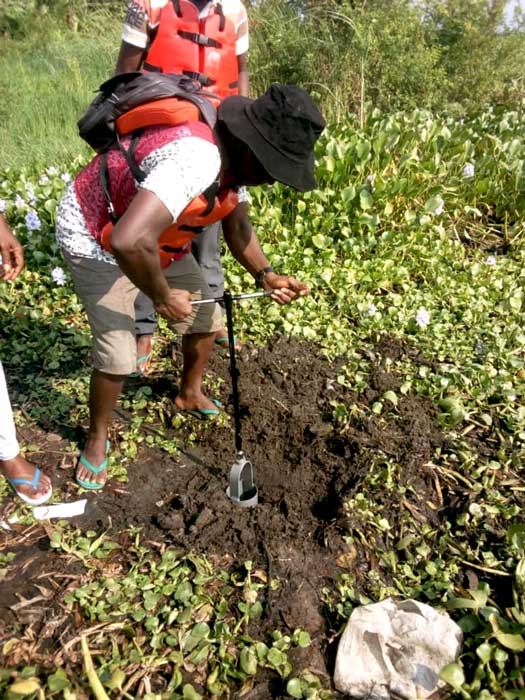
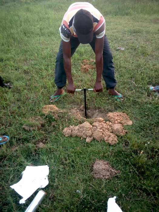
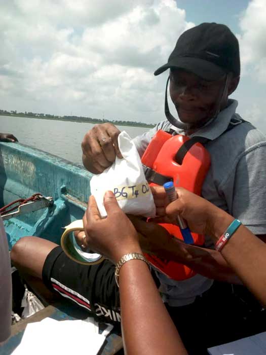
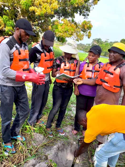
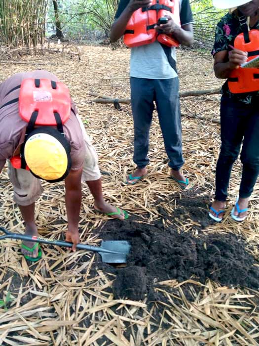
A chronicle of field projects of the Centre since inception is given below.
| S/N | YEAR | PROJECT TITLE | OUTPUT |
| 1 | 2007 | Coastal erosion survey of AkwaIbom State. | National Centre for Marine Geosciences Report, 165p |
| 2 | 2007 | Coastal groundwater mapping of littoral states of Bayelsa, Rivers, AkwaIbom and Cross River State. | National Centre for Marine Geosciences Report, 166p. |
| 3 | 2007 | Geochemical mapping of coastal regions of Lagos, Ondo, Delta and Bayelsa State. | National Centre for Marine Geosciences Report, 131p |
| 4 | 2007 | Geochemical mapping of coastal regions of Rivers, AkwaIbom and Cross River State. | National Centre for Marine Geosciences Report, 125p |
| 5 | 2007 | Sediment and mineral type survey of coastal regions of Lagos, Ondo and Delta State. | National Centre for Marine Geosciences Report, 160p |
| 6 | 2007 | Sediment and mineral type survey of the littoral states of Eastern Niger Delta (Bayelsa, Rivers, AkwaIbom and Cross River). | National Centre for Marine Geosciences Report, 222p |
| 7 | 2008 | Coastal groundwater mapping of Lagos, Ondo and Delta State. | National Centre for Marine Geosciences Report, 188p |
| 8 | 2008 | Tidal channel sedimentation of S.E. Nigeria. | National Centre for Marine Geosciences Report, 83p |
| 9 | 2009 | Sediment geochemistry of mangrove swamps/tidal flats of Badagry and Environs. | National Centre for Marine Geosciences Report, 144p |
| 10 | 2009 | Geochemistry of mangrove swamps of the Niger Delta Region. | National Centre for Marine Geosciences Report, 434p |
| 11 | 2010 | Pollutant flushing potentials of tidal rivers: case study of Calabar River. | National Centre for Marine Geosciences Report, 220p |
| 12 | 2010 | Longevity assessment of coastal groundwater quality of some Niger Delta Region communities (Igbokoda, Warri, Ogbia, Ibeno and Anantigha). | National Centre for Marine Geosciences Report, 455p |
| 13 | 2010 | Tidal and potential sea level rise effects on coastal groundwater and surface water bodies of Lagos and Cross River State. | National Centre for Marine Geosciences Report, 344p |
| 14 | 2011 | Sea level rise vulnerability survey of the coastal zone of Ondo State of Nigeria: case study of coastal waters of Igbokoda. | National Centre for Marine Geosciences Report, 135p |
| 15 | 2011 | Pollutant flushing potentials of eastern Niger Delta estuaries: Phase 1- Qua Iboe River estuary (AkwaIbom State) and Imo River estuary (Rivers State). | National Centre for Marine Geosciences Report, 619p |
| 16 | 2012 | Production of multi-parameter digital and geochemical maps of 10 coastal river/lagoon locations (Great Kwa, Calabar, Qua Iboe, Imo, Bonny, Brass, Benin River, Lagos Lagoon West, Lagos Harbour and Badagry Lagoon). | 10 maps |
| 17 | 2012 | Production of multi-parameter geochemical maps of 9 mangrove swamps/tidal flat locations (Great Kwa, Calabar, Cross, Qua Iboe, Andoni, Nun, Forcados, Igbokoda Rivers and Badagry Lagoon). | 9 maps |