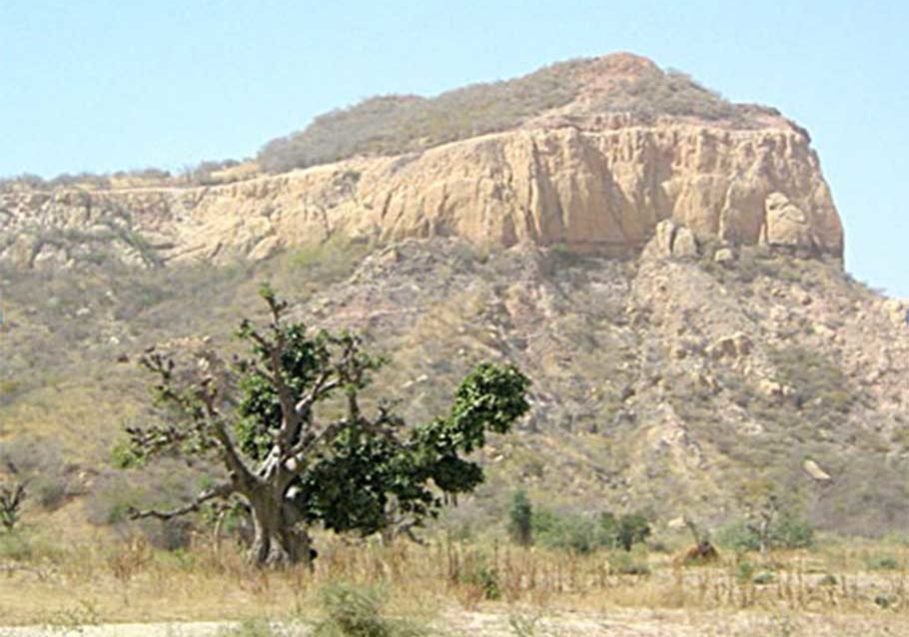
Geological Mapping
The Regional Geology Department of the Agency primarily carries out geological mapping which is aimed at providing information on the distribution of various rock types present on the country’s landscape. Such information is useful for the identification and development of mineral resources, land use, planning and infrastructural development. It also provides services on sedimentology, stratigraphy, paleontology, palynology, basin analysis, as well as geospatial services on remote sensing and photo interpretation and structural studies.
The continuous mapping on various scales is done, primarily for the determination of the nation’s rock formations for use in all aspects of the government natural resources policies.
- Maps (National, Zonal, State & FCT)
- A total of 132 geological sheets on a scale of 1:100,000 were mapped between 2004- 2023
- 1: 2,000,000 National Maps
- 1:500,000 Zonal/State Maps
- 1: 250,000 State Maps
- 1: 250,000 Sheet Maps
- 1:100,000 Sheet Maps
- Geological Maps of Nigeria 1:2,000,000
- Lineament Map of Nigeria 1:2,000,000
- Geological Sheet Maps (one and half degree sheets) 1:250,000, 1:100,000

